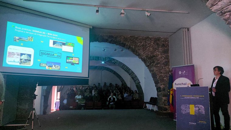
The Geographic Information Systems technical conference, dedicated to the theme of “Remote Sensing and GIS: Technological innovation for urban and environmental sustainability”, was attended by over a hundred people in person and online.
The Municipality of Gaia and Gaiurb were represented by Marco Lima de Carvalho, head of the Geographic Information Division, who presented the good practices of the technological integration projects and services, Gaia Drone Survey and Gaia Laser Survey, as well as the geographic data platform (Gaia.IDE) and the Gaiacity+ | data for people portal with urban indicators, open data and a 3D city model.
In his speech entitled “Gaiacity+ data for the citizen and the technologies supporting digital twin modeling”, Marco Lima de Carvalho also presented the projects under development within the scope of Gaia's Digital Twin and Building Information Modeling applied to urban licensing.
There is still a long way to go in this area, but Gaiurb intends to once again become a national and international reference in the implementation of innovative solutions, as well as in the cooperation it is developing in the areas of research and development (R&D).
The opening and closing of the conference was attended by the Mayor of Funchal, Cristina Pedra, and the Councillor for Urban Planning, João Rodrigues, who highlighted the investments made in technological solutions and the importance of geographic information systems for municipalities in formulating public policies, contributing to environmental protection, land use planning and improving citizens' quality of life.
According to Cristina Pedra, these days are a unique opportunity to debate the challenges and opportunities in the use of Geographic Information, as well as promoting the sharing of good practices and success stories in the use of geospatial technologies in various areas of public administration. He also stressed that they promote collaboration between universities, companies, stakeholders, public bodies and civil society and, as intended, “raise awareness in society of the relevance of geographic information in decision-making and in promoting a more informed and participatory citizenship”.
The event was attended by experts from regional, national and international organizations who presented various projects, studies and solutions implemented through the sharing of experiences and the adoption of best practices at national and international level.
Translated with DeepL.com (free version)